Unlock deeper market insights with Geoterraimage Demographic & Population Data
Turn Demographic Data into Actionable Intelligence with GEOTERRAIMAGE
In today’s rapidly changing environment, accurate and current demographic information is essential for effective planning, investment, and decision-making. Using advanced Earth Observation technologies, spatial analytics, and statistical modelling, GEOTERRAIMAGE (GTI) delivers comprehensive Population and Demographic datasets at a national scale, helping organisations gain a clearer understanding of people and their communities.
Our data supports a wide range of industries, including: Retail and FMCG. Media and Advertising, Property and Real Estate, Healthcare, Government and Municipal Planning, Financial Services, Research Institutions, NGOs and Development Agencies.
More Than Traditional Demographics
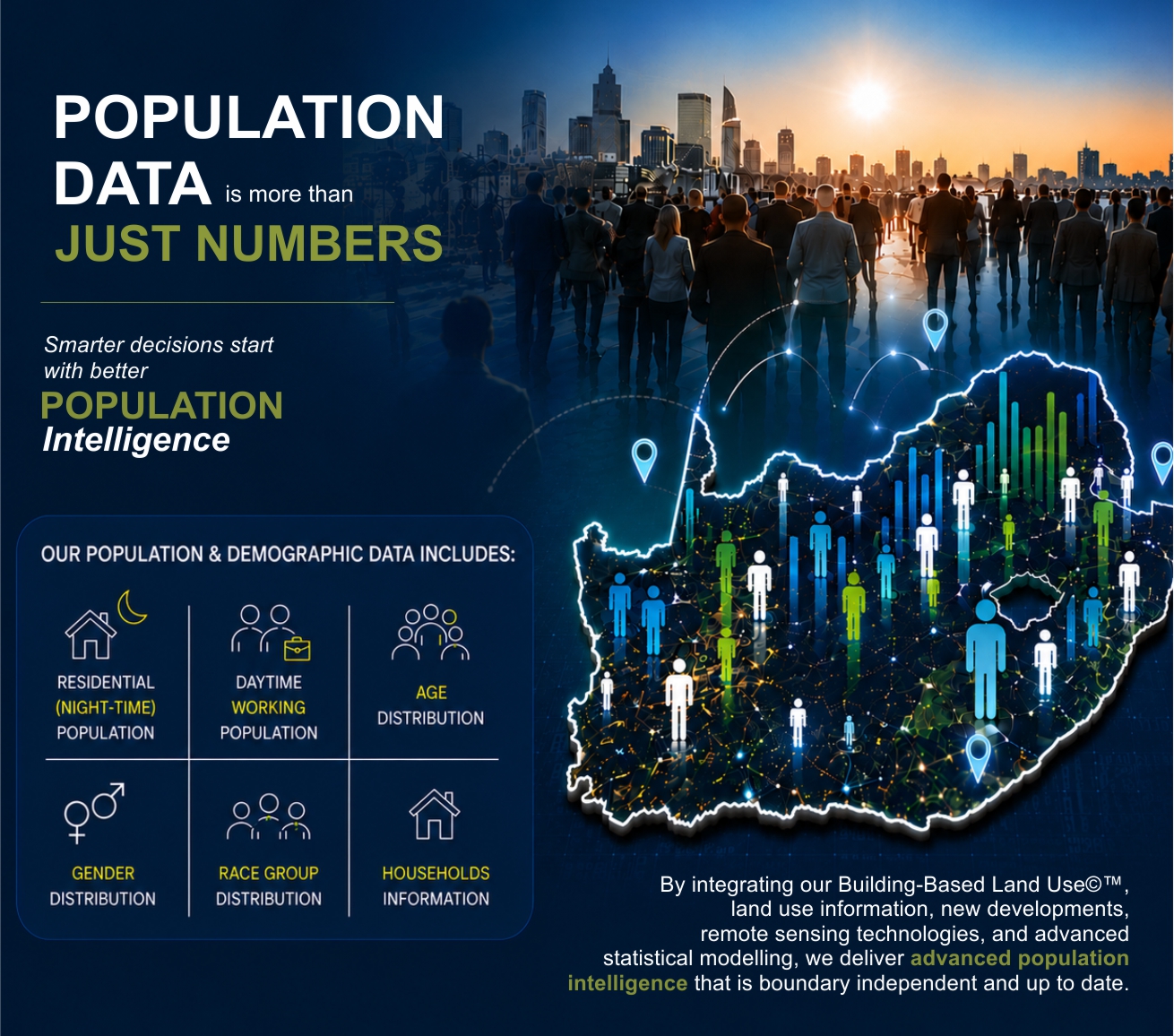
The GEOTERRAIMAGE Population & Demographic dataset provides detailed insights into Residential (night-time) population, Daytime working population, Household counts, Dwelling types, Age distribution, Gender distribution, Population group estimates, Primary, secondary, and tertiary demographic profiles etc. What makes our dataset unique is the inclusion of both residential and daytime population estimates, providing a richer understanding of where people live, work, and interact.
Built on Real-World Data
By integrating our proprietary Building-Based Land Use©™ dataset, development activity, land use information, and the latest population estimates, demographic information can be modelled down to individual building structures. This structure-level approach ensures demographic estimates reflect current on-the-ground realities rather than relying solely on administrative boundaries or sample surveys.
The result is highly flexible, boundary-independent data that can be aggregated to virtually any geography, including Municipal boundaries, Wards, Trade areas, Catchment zones, Radio station footprints, Custom client-defined areas ec
Why GEOTERRAIMAGE?
Our demographic estimates are aligned to real-world conditions using remote sensing, building-level intelligence, and advanced spatial modelling techniques.
- Our methodology is developed and continuously refined by professional statisticians, ensuring accuracy, consistency, and reliability.
- Built from GEOTERRAIMAGE‘s comprehensive national datasets, our demographic products provide consistent coverage across South Africa.
- Population estimates are benchmarked against the latest Statistics South Africa Mid-Year Population Estimates, ensuring reliable and comparable results.
- Organisations use GEOTERRAIMAGE demographic data to:
✓ Develop detailed customer and consumer profiles, ✓ Identify new market opportunities, ✓ Support site selection and location analysis, ✓ Improve service delivery planning, ✓ Optimise marketing and advertising strategies, ✓ Assess market potential and competition, ✓ Inform infrastructure and development planning
Turning Data into Actionable Intelligence
Understanding where people live, work, and interact is fundamental to making informed business and planning decisions. GEOTERRAIMAGEs Population & Demographic datasets provide the detailed, current, and flexible intelligence needed to support smarter decisions across both the public and private sectors.
Contact GEOTERRAIMAGE to learn how our demographic solutions can support your organisation's planning, growth, and market intelligence requirements.