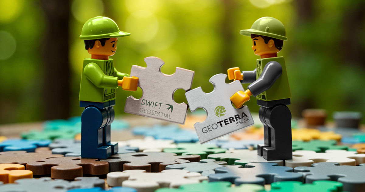
a partnership you can’t ignore in 2025!
Why businesses can’t afford to overlook GEOTERRAIMAGE & SWIFT GEOSPATIALS’s Collaborative Intelligence Solutions.
In today’s world, businesses are facing unprecedented challenges in environmental compliance, sustainability, and responsible land management. For example, the European Union Deforestation Regulation (EUDR), Corporate Sustainability Reporting Directive (CSRD), and growing market demands for transparency, require companies to monitor and report on land-use changes with precision and accuracy.
Decision-makers need fast, dependable intelligence—navigating competitive markets while aligning with complex but essential responsible resource-use frameworks.
Introducing the powerhouse partnership of GEOTERRAIMAGE and SWIFT GEOSPATIAL —where cutting-edge remote sensing, advanced machine learning automation, expert satellite image processing, and bespoke GIS solutions converge to transform how industries track, assess, and mitigate environmental risks and impacts.
A Partnership Built for Impact
GEOTERRAIMAGE and SWIFT GEOSPATIAL have taken hands to create an unparalleled global solution for deforestation and compliance risk assessment. By combining decades of expertise in landscape analyses and development of geospatial intelligence solutions, this partnership offers the ability to monitor environmental changes at an unprecedented scale and accuracy.
This collaboration leverages:
• Synergy between the two companies that can provide complementary solutions to benefit the end user.
• A valued partnership relationship with PlanetScope for daily collection of satellite imagery for real-time validation and verification.
• The longstanding ESRI Partnership developing strategic geospatial services to address client-specific needs.
• Proprietary automated landscape change monitoring that can be scaled across any size area, historical time series, and geolocation across the globe.
• Custom-built offline mobile surveys for field-level in-person verification of non-compliant farms.
• Reputable track record and certification with industry standards such as Verra.
• Combined experience in a highly competitive, yet niche industry.
What’s Possible with This Collaboration?
We are pushing the boundaries of what’s possible in land-use risk assessments and environmental risk intelligence, by thinking outside the box to address critical issues that matter to our clients. Here’s how:
1. Global Deforestation Risk Assessment
Companies can now track deforestation risk for specific dates as far back 1990 with Landsat imagery, allowing them to assess historical land-use changes and make informed decisions about sourcing, sustainability initiatives, and carbon associated strategies. For example, by identifying the exact year in which a field transitioned from woodland to agriculture, businesses gain powerful insights into past environmental impacts.
2. EUDR & CSRD Compliance Simplified
With the EUDR now enforcing stricter regulations on deforestation-linked commodities, this partnership provides a streamlined way for companies to assess farm-level compliance. The system can detect land-use changes from the early 1990s onward to build accurate and verifiable compliance reports for regulatory submissions.
3. Real-time Decision Support & Monitoring
Beyond historical analysis, we enable businesses with ongoing landscape change updates, environmental risk information, and continuous monitoring of operational impacts on the environment. Whether it’s tracking land regeneration, monitoring forest conservation efforts, or identifying unauthorized land-use changes, our solution provides rapid insights to support scenario assessments.
Why This Matters for Businesses
This collaborative solution isn’t just about amplifying technology—it’s about empowering businesses to meet sustainability commitments with confidence. Companies and consultants dealing with various forms of land development now have access to faster, more accurate, evidence-driven solutions for making the best decisions for sustainable operations.
With our turn-key approach and accredited satellite-based monitoring methodology focusing on region-specific landscape intelligence, companies no longer have to rely on outdated, unrelated, or inflexible landscape change data sources. Instead, they can access tailored spatial insights designed specifically to suit their needs.
The Future of Environmental Intelligence Starts Here
Since sustainability has become a core business imperative, the ability to track and validate environmental impact with precision is no longer optional—it’s essential. Through this collaborative solution, we are not just providing data; we are pioneering the next era of sustainability intelligence for managing and mitigating changes in the natural landscape.
Are you ready to take your sustainability strategy to the next level? We can support you with clear decision-making, seamless compliance, and a meaningful contribution to global sustainability efforts. If you are not harnessing the latest capabilities of satellite monitoring yet, or you would like to hear more about our solution, reach out today.
Read more about SWIFT GEOSPATIAL’s forestry solutions which forms the initial pivot around which the partnership has been established.

